
Services · Technical cartography
GIS and CAD
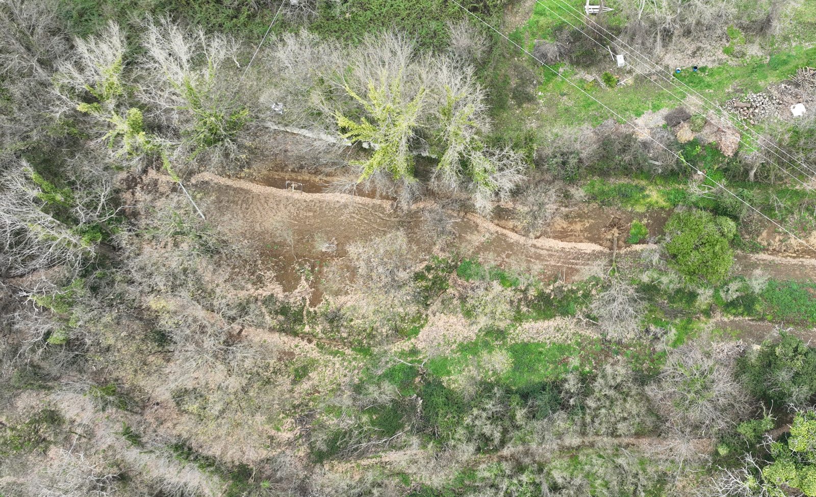
A map is not the representation of a piece of land: it is a decision about which things deserve to be there and which do not. Most technical cartography commissioned to an agronomist serves to support a bureaucratic procedure. The maps I make serve first to see the site for what it is — and only secondarily to translate it into a document.
Do you need a technical map that holds up?
For public administrations, design practices, large residential buildings, agricultural businesses. Write to me describing the area, the purpose of the map, any format constraints. In the days that follow I will respond with a methodology outline and proposed timescale.
Why the map precedes the decision
When a map is made well, it resolves discussions that would otherwise drag on for months. It shows where a boundary actually runs, where a slope changes regime, where an area of pertinence touches a constraint the client did not know they had. It is the leanest document a file can contain, and precisely for that reason it must be built with care.
A poorly made map has the opposite effect: it gives everyone the illusion of knowing, and legitimises decisions built on a scheme that does not match the site. Agronomic and landscape cartography is full of examples of maps drawn by tracing boundaries on aerial photographs at incompatible scales, or mixing layers from different years, or reproducing cadastral limits as if they were physical ones. The client trusts it, because the map looks technical. The care lies in not delivering that kind of false reassurance.
What I do
Agronomic and landscape cartography. Thematic maps of soil, land capability class, pedological vulnerability, actual land use, distribution of tree species in a residential or municipal asset.
Maps for Urban Green Plans and tree inventories. Georeferencing of every significant specimen, associated descriptive attributes (species, DBH, estimated height, age class, condition). Output maps printable for the client and datasets in open format for future reuse.
Cartography supporting VINCA and landscape assessments. Interference maps, habitat maps, project compatibility maps, visual mitigation maps. All grounded in declared official cartographic base.
CAD drawings. For green space design, restoration of historic landscapes, interventions on agricultural terraces. DWG and DXF delivered with documented layer structure, readable by the architects, engineers and surveyors the client works with.
Dedicated spatial analysis. When the case requires: viewshed analysis, exposure and slope analysis, crop suitability analysis, risk analysis. Always with explicit methodology and traceable parameters.
How I work
Site visit to validate the layers. No technical cartography built exclusively from aerial photographs. At least one site visit to validate sample boundaries, species, and the conditions declared by available layers. If the layers do not hold up to validation, that is declared in the document.
Official cartographic base, declared. CTR, AGEA aerial photographs, ISPRA layers, regional layers. For every output layer: source, datum, year of reference.
Open software and open formats. I work primarily with QGIS (LTR, GeoPackage as data format). Delivered datasets are in reusable open formats — Shapefile, GeoPackage, GeoJSON, CSV with coordinates — not in proprietary formats readable only on my computer.
Interoperable CAD outputs. DWG and DXF generated with documented layer structure, so that the client’s architect or engineer can work with them without having to ask for layers one by one.
What I deliver
Printable maps (PDF at declared scale, thematic atlases), open-format datasets, interoperable CAD outputs. Always accompanied by a brief methodological note explaining what was mapped, with which sources, with which limitations. The methodological note is part of the deliverable, not an optional extra.
Frequently asked questions
Do you work with QGIS or proprietary software?
I work primarily with QGIS and open formats (GeoPackage, Shapefile, GeoJSON, CSV with coordinates). The data I deliver are reusable, not readable only on my computer.
Can you carry out a georeferenced tree inventory?
Yes: every significant specimen is mapped with its attributes (species, DBH, height, age class, condition). This is the foundation of an Urban Green Plan or a tree asset inventory.
Can the maps be used by the architect or engineer I work with?
Yes. CAD outputs (DWG/DXF) have a documented layer structure and GIS data are in standard formats, so your collaborators can use them without having to ask for layers one by one.
In what formats do you deliver the work?
Printable maps in PDF at declared scale, open-format datasets, interoperable CAD outputs — always with a methodological note on what was mapped, with which sources, and with which limitations.