Services · Landscape and habitat
Environmental assessments
Habitats Directive assessments (VINCA), landscape reports, agronomic and pedological assessments. Almost all of these documents are requested today to obtain an authorisation and end up filed away unopened. I produce them for the opposite reason: so that those who decide about a site genuinely know what it cannot withstand, and so that those who manage it stop discovering that after the fact.
Do you have an authorisation that requires an environmental assessment?
Write to me describing the project and the site. In the days that follow I will respond with an initial preliminary compatibility reading and a proposed timescale.
Why compliance and compatibility are not the same thing
There is an environmental assessment that serves to comply with the law and one that serves to understand the territory. The two things sometimes coincide. Often they do not coincide at all. A project can be formally compliant with the requirements of a plan and yet be incompatible with the real vulnerability of the site on which it intervenes. A project can be formally incomplete and yet touch aspects the plan had not anticipated.
The Studio produces environmental assessments from the second perspective, even when the client needs them for the first. Compliance follows as a consequence, not for its own sake: it follows because the data are grounded in sources, the impacts evaluated for what they are, the mitigations proposed calibrated to the specific site rather than the generic model. It takes longer, it is less marketable as a quick signature, and it is the reason why those who want only a quick signature are better off looking elsewhere.
Areas covered
Habitats Directive assessment (VINCA — Valutazione di Incidenza Ambientale). For plans, projects and interventions that fall within or affect Natura 2000 sites (SCI, SAC, SPA) or their connectivity areas. Impact study, assessment of interference with target habitats and species, proposed mitigation and compensation measures. Under current Italian regulatory framework (Presidential Decree 357/1997 and subsequent national guidelines) and regional updates.
Landscape reports. For interventions subject to landscape authorisation under the Italian Cultural Heritage Code (Legislative Decree 42/2004). Reading of the landscape context, assessment of project compatibility, visual and perceptual mitigation proposals.
Agronomic and pedological assessments. For planning applications, amendments, land conferments, site restoration. Assessment of land capability class, evaluation of pedological vulnerability, management guidelines.
Technical opinions supporting other professionals. I frequently work alongside architecture, engineering and geology practices. My contribution comes in where the agronomic and landscape reading is essential but the broader project picture requires other expertise — and where someone needs to say clearly, when a design proposal does not hold up in terms of real compatibility.
How I work
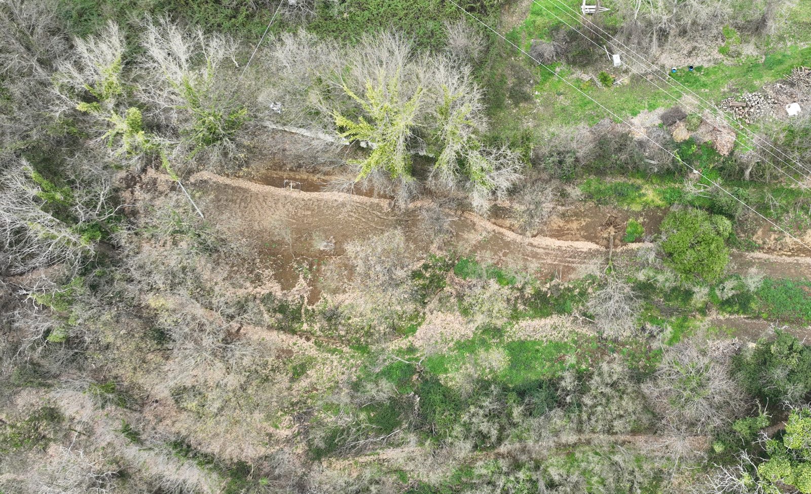
Site visit before writing. No VINCA or landscape report written at a desk from aerial photographs alone. The site visit is the foundation: seeing the actual season, the real exposure, the species actually present, the conservation status of habitats.
Data grounded in verifiable sources. Official cartography (PTPR, PUC, Natura 2000 atlas), scientific literature for the species and habitats involved, available monitoring data. Every figure, every species status, every vulnerability level cited in the document has a traceable source.
Long timescales for integral visions. A VINCA or landscape report written in three days shows it from the first pages. A serious document takes weeks, even for small projects. I say this plainly before any agreement is signed.
Honest about the likely outcome. If preliminary analysis shows the project is not compatible, I make that clear before finalising the quote. It benefits both parties.
What I deliver
Complete technical document with regulatory framework, project description, site characterisation, interference analysis, impact assessment, proposed mitigation and compensation. Cartographic annexes (thematic maps, habitat map, interference map). Field documentary photography. All digitally signed.
Frequently asked questions
What is the VINCA and when is it required?
The Habitats Directive assessment (VINCA — Valutazione di Incidenza Ambientale) is required when a plan, project or intervention may have effects on a Natura 2000 site (SCI, SAC, SPA) or its connectivity areas. It establishes whether and how that intervention affects protected habitats and species, and which measures make it compatible.
When is a landscape report required?
When the intervention falls in a landscape-protected area and requires authorisation under the Italian Cultural Heritage Code (Legislative Decree 42/2004). It documents the context, assesses compatibility and proposes mitigation measures.
What is the difference between VINCA, EIA and SEA?
In brief: VINCA concerns impacts on Natura 2000 sites; Environmental Impact Assessment (EIA) evaluates the environmental impact of a single project; Strategic Environmental Assessment (SEA) applies to plans and programmes. They respond to different rules and objectives. I cover the agronomic and landscape component, either independently or in support of other professionals.
Can work be done in a protected or landscape-constrained area?
Often yes, but on conditions: compatibility with habitats, species and landscape must be demonstrated, adopting the necessary mitigation measures. The assessment is precisely what establishes what the site can withstand — and, sometimes, what honestly states that a proposed approach does not hold up.